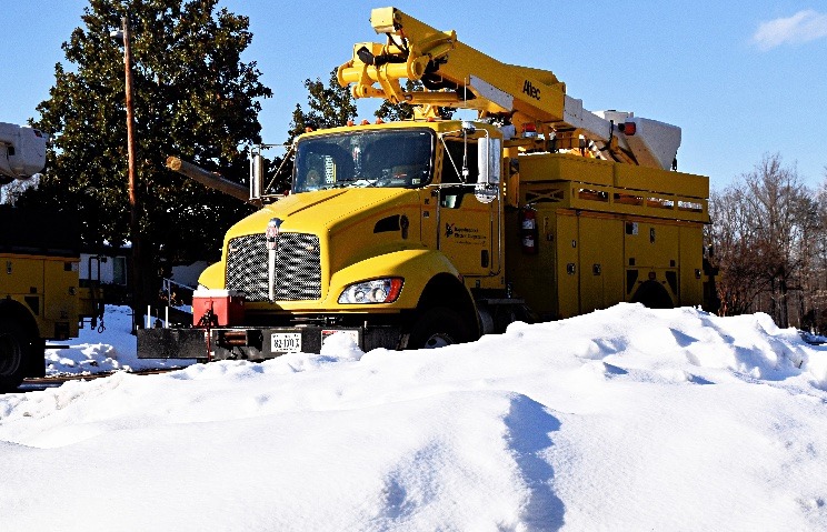
The Weather Channel’s Richard Lewelling tells us a Friday into Saturday snow storm is coming into clearer focus. He says this storm is shaping up as a huge ice event for Hampton Roads

Possible weekend snow storm starting to take shape
read more