National Weather Service says it’s likely to start later tonight

Snow and ice coming
read more

National Weather Service says it’s likely to start later tonight

Crews will apply a salt water solution on major routes to reduce icing with potential of snow and ice

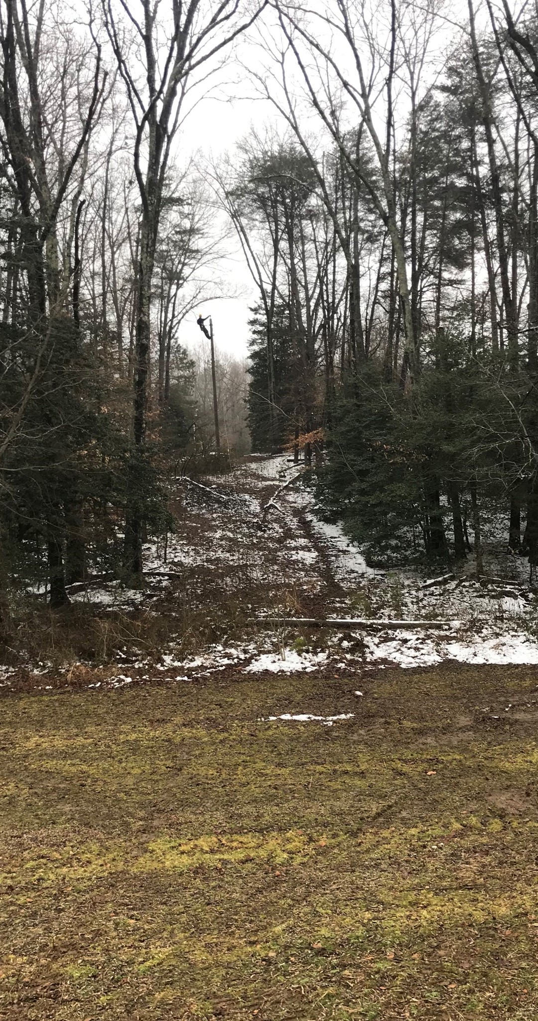
Northern Neck Electric Cooperative completes storm restoration work
Rappahannock Electric Cooperative reportes they have restored 90% of the outages. More than 200 line workers have been out tackling the remaining outages.

The National Weather Service says new Winter Weather Advisories have been issued for areas generally west of I-95 for light freezing rain or freezing drizzle.

Outages in Northumberland, Lancaster and Richmond counties
Nearly 30 roads remain closed in the Fredericksburg District. Many of these roads are closed due to downed trees and branches entangled with power lines.

REC crews, contractors, vegetation management team members and mutual aid crews continue to make repairs and restore service lost due to the ice storm.
In some cases, member-owners will need to report their outage multiple times as the online system may indicate power has been restored when it is still out.
Before starting a trip, motorists are advised to check 511Virginia for a real-time list of roads closed along their route.
Six crews from South Carolina – Black River Electric Cooperative, Newberry Electric Cooperative, and Palmetto Electric Cooperative are joining the REC workforce to assist in outage restoration midday today.
Interstate 95 is clear, and primary and secondary roads across the region have mostly wet pavement.

The Weather Channel says early week expect rain. No ice

An icy day around the region

The National Weather Service says Winter Storm & Ice Storm Warnings have been downgraded to Winter Weather Advisories for the potential for freezing drizzle overnight.
REC will work unitl 11pm and resume work with help from South Carolina workers on Sunday
VDOT crews have cleared around 300 downed trees today districtwide.

More ice expected overnight
REC re-positioned crews and contractors last night from its Blue Ridge office to assist with outages in the Eastern portion of the state.
VDOT applying salt and sand to area roads
Today’s News Sponsored by: